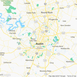
Easily Book Lawn Care in Austin, TX
Order Austin lawn mowing and other lawn services near you from the comfort of your screen.


How It Works
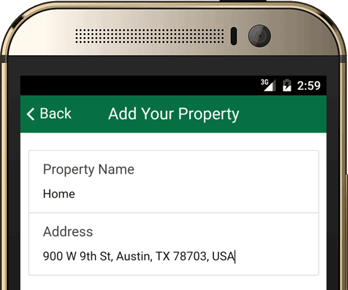
Book in less than 2 minutes: completely online or over the phone.
Enter Your Address→ See Your Exact Price
In seconds, entirely online.
How We Calculate Your Exact Price
We Know Every Property Is Different
Pools, driveways, garden beds, patios. We understand your property has unique features. We've spent years analyzing millions of properties, perfecting satellite and AI technology that identifies only the areas that actually need service.
This Isn't a Quote. This Is Your Exact Price.
Upfront, transparent pricing. Only 2% of our prices ever need adjustment, and even then, your first service stays at the quoted price.
Pick a Date That Fits
48-hour start time available for 9 out of 10 customers.
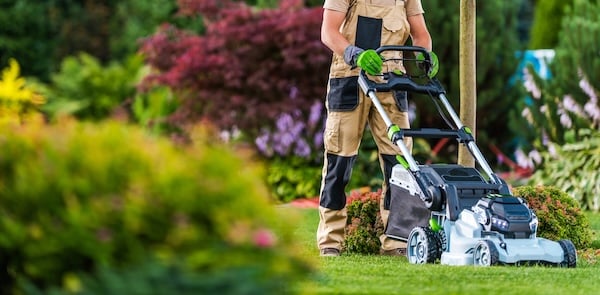
Relax, Our Pros Will Handle the Rest
Covered by our Done Right Guarantee. Tell us within 5 days, and we can re-mow or refund.

Total Flexibility, One Tap
No contracts. Cancel, Skip, or Reschedule with one-tap. Don't like their yellow shirt? Swap crews instantly.
Inspect First, Pay Later
Card won't be charged for 3 full days after service. Time to ensure you're 100% satisfied with the work.
Only the Top 3% of Pros
Just 1 in 30 pros pass our vetting & background check.
Your Complete Outdoor Team
Your regular pro for maintenance & cleanups. Licensed specialists for treatments. 25 services, 1 app.
Tell us within 5 days if anything’s off and we’ll re-mow or refund. 95% of our services satisfy the customer. For the other 5%, our guarantee kicks in. Every visit is backed by $2 million in property protection.
How LawnStarter works
Get started in under 5 minutes

View Pricing

Choose your service date

Let our pros do the work
How It Works
Book in less than 2 minutes: completely online or over the phone.
Enter Your Address→ See Your Exact Price
In seconds, entirely online.
How We Calculate Your Exact Price
We Know Every Property Is Different
Pools, driveways, garden beds, patios. We understand your property has unique features. We've spent years analyzing millions of properties, perfecting satellite and AI technology that identifies only the areas that actually need service.
This Isn't a Quote. This Is Your Exact Price.
Upfront, transparent pricing. Only 2% of our prices ever need adjustment, and even then, your first service stays at the quoted price.
Pick a Date That Fits
48-hour start time available for 9 out of 10 customers.
Relax, Our Pros Will Handle the Rest
Covered by our Done Right Guarantee. Tell us within 5 days, and we can re-mow or refund.
Total Flexibility, One Tap
No contracts. Cancel, Skip, or Reschedule with one-tap. Don't like their yellow shirt? Swap crews instantly.
Inspect First, Pay Later
Card won't be charged for 3 full days after service. Time to ensure you're 100% satisfied with the work.
Only the Top 3% of Pros
Just 1 in 30 pros pass our vetting & background check.
Your Complete Outdoor Team
Your regular pro for maintenance & cleanups. Licensed specialists for treatments. 25 services, 1 app.
Tell us within 5 days if anything’s off and we’ll re-mow or refund. 95% of our services satisfy the customer. For the other 5%, our guarantee kicks in. Every visit is backed by $2 million in property protection.
Why LawnStarter?
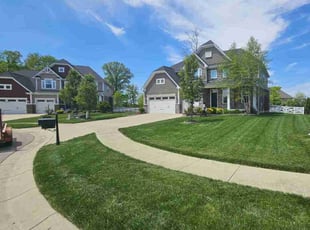
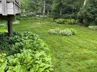
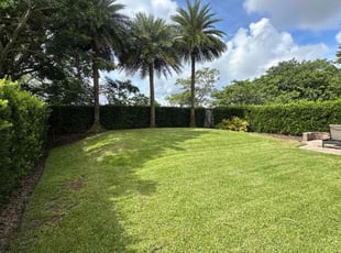
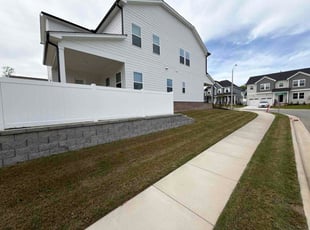
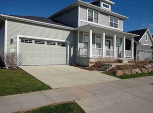
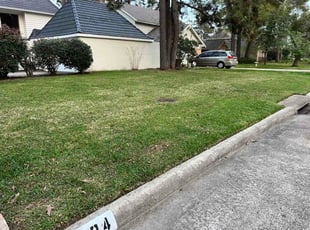
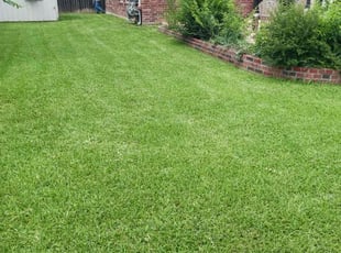
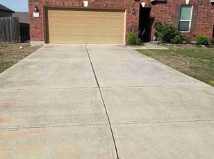
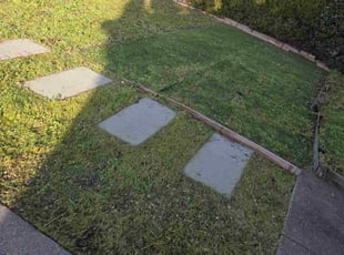
Happy customers all over Austin
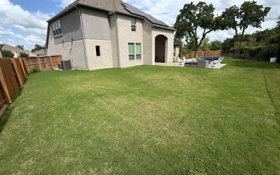
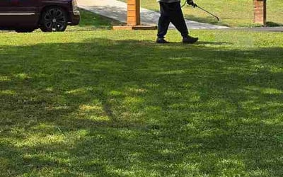
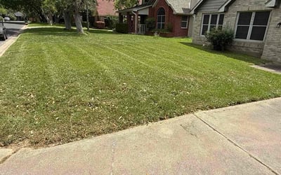
Austin, TX - Apr 23, 2026
Local Lawn Care Facts & Resources
Lawn tip of the week
Everything is pretty much up and swing now, your grass is probably growing at a controllable rate so make sure you get to mowing it!
Resources
Popular Grass Types in Austin
| Bermudagrass | 59% |
| Zoysiagrass | 11% |
| Centipedegrass | 11% |
| Buffalograss | 8% |
| Perennial Ryegrass | 5% |
| Tall Fescue | 4% |
| Kentucky Bluegrass | 3% |
Grass Cutting Height Preferences
| Long (6-7 inches) | 5% |
| Medium (4-5 inches) | 29% |
| Short (2-3 inches) | 65% |
Lawn Care Facts
| Average Yard Size | 7,967 sq ft |
| Average Mowing Price | $47.69 |
| Weekly Cuts | 5.0% |
| Biweekly Cuts | 91.0% |
| Monthly Cuts | 4.0% |
| Lawns Fertilized | 7.0% |
| Lawns with Leaf Removal | 12.0% |
| Aerated Lawns | 8.0% |
| Yards with Cleanups | 10.0% |
| Days That Are Sunny | 51% |
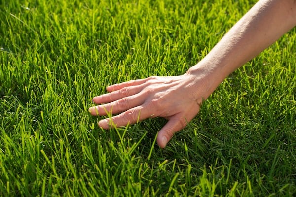
Take your lawn on the go.
An app for lawn care, seriously? You betcha! Stay up‑to‑date on your lawn wherever you go.
Easy, Affordable Lawn Care Services in Austin
Austin is great for its year-long warmth and short winters, but this means we stay busy mowing grass and tending to other yard work. Add water restrictions, and lawn care can be a real challenge.
It doesn't have to be that way. You can spend less time in your yard and more time at Zilker Park or cooling off in Barton Springs.
LawnStarter takes lawn care off your to-do list. Hire a local lawn care crew to keep your grass trim and healthy through our notoriously hot summers. Call, click, or book lawn care service via our easy-to-use app. Help is just a few clicks away.
But, if you do choose to DIY your lawn care, we can help you with that too. We live here. LawnStarter was founded in Austin.
Here's what our pros know -- and you need to know -- about lawn care in Austin:.
Best Grass Types for Austin: The best grasses to plant in Austin are St. Augustinegrass, Zoysiagrass, bermudagrass, and ryegrass.
Winter Lawn Care for Austin: Your winter lawn care checklist includes aeration, overseeding and fertilization to prepare your grass for winter. Also do a fall cleanup: Clear your lawn of stray branches, leaves, and toys.
Watering With Restrictions: Know and abide by Austin's water restrictions. Water early in the day as this helps your grass cling to the moisture well into those hot afternoons. Tip from Austin area LawnStarter pro Justin Stultz: Water your lawn deeply, not frequently.
How LawnStarter Can Keep Your Yard Looking Great: In addition to routine grass cutting and lawn maintenance, we also offer landscaping services, bush and tree trimming, weed control, fertilization, aeration, and seeding.
It's easy to get started with LawnStarter. Just call, click, or download our app for a quick and customized quote. We'll send a pro to take care of all your outdoor chores within a few days.
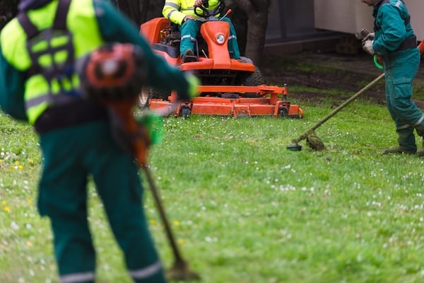
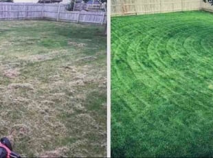
Meet some of our top Austin lawn care pros


Recent Reviews
We encourage feedback from all customers to ensure we are delivering the best service possible.
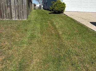
Service Recommendations in Austin
LawnStarter pros will let you know what your lawn needs. Here are some recent recommendations for lawn care services in Austin, TX.
Pro Recommendation for Leaf Removal
Pro Recommendation for Stick and Leaf Cleanup
Pro Recommendation for Lawn Cleanup
Pro Recommendation for Stick and Leaf Cleanup
Pro Recommendation for Leaf Removal
Pro Recommendation for Leaf Cleanup
Top Austin, TX Lawn Services of April 2026